Whether you are a parent scrambling to arrange childcare, a student hoping for a surprise day off, or a teacher planning lessons around unpredictable weather, this comprehensive guide covers everything you need to know about how free snow day calculators work, what data they use, and how to get the most accurate prediction possible without handing over an email address or creating an account.
The free snow day calculator landscape has grown dramatically since the original tool launched as a middle school side project back in 2007. Today's tools tap into hyperlocal government weather APIs, machine learning models, and decades of historical school closure records to give predictions that regularly hit 85 to 92 percent accuracy on short-range forecasts. This guide breaks down how all of it works and why you should never have to pay or sign up to access it.
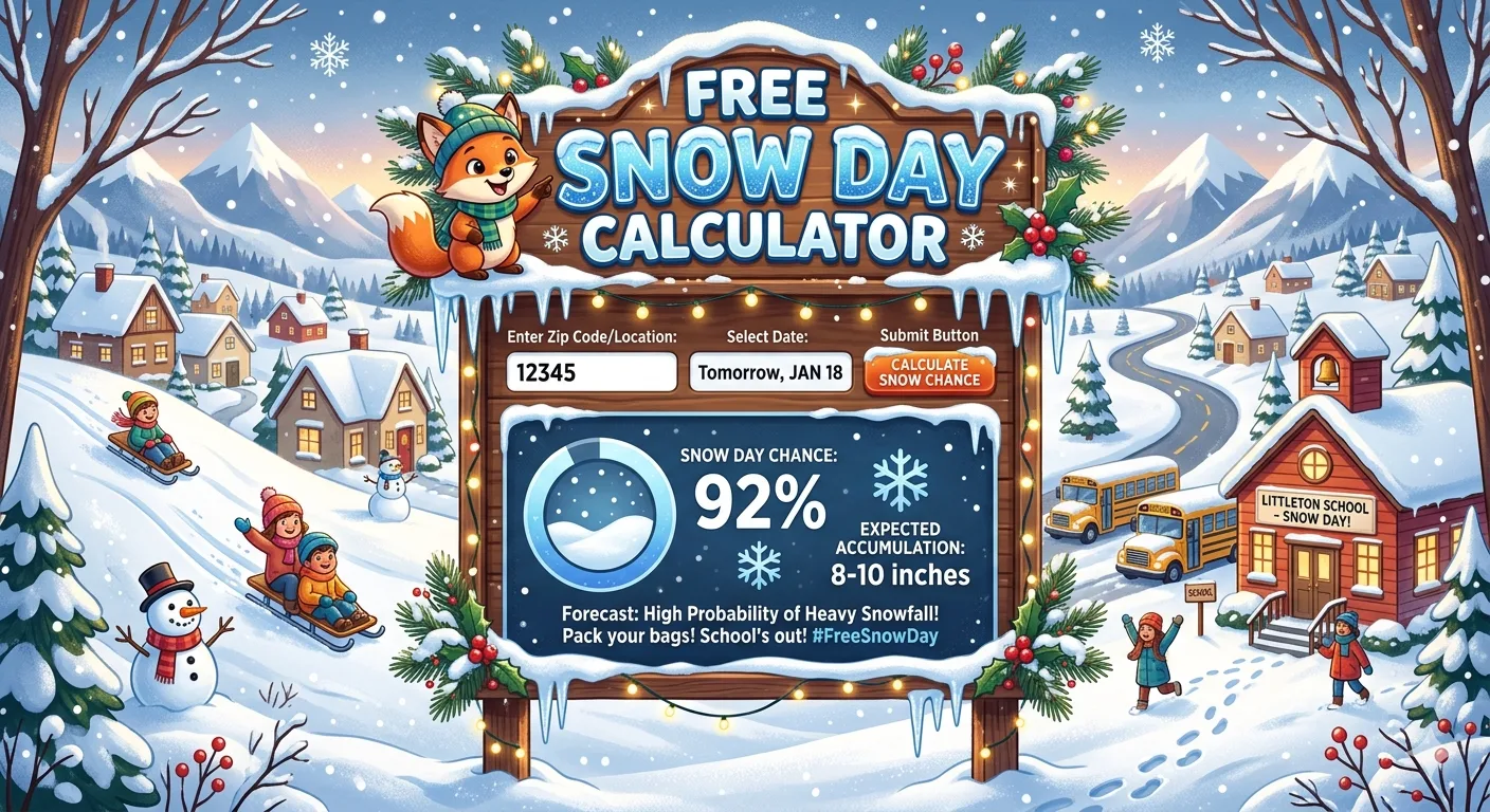
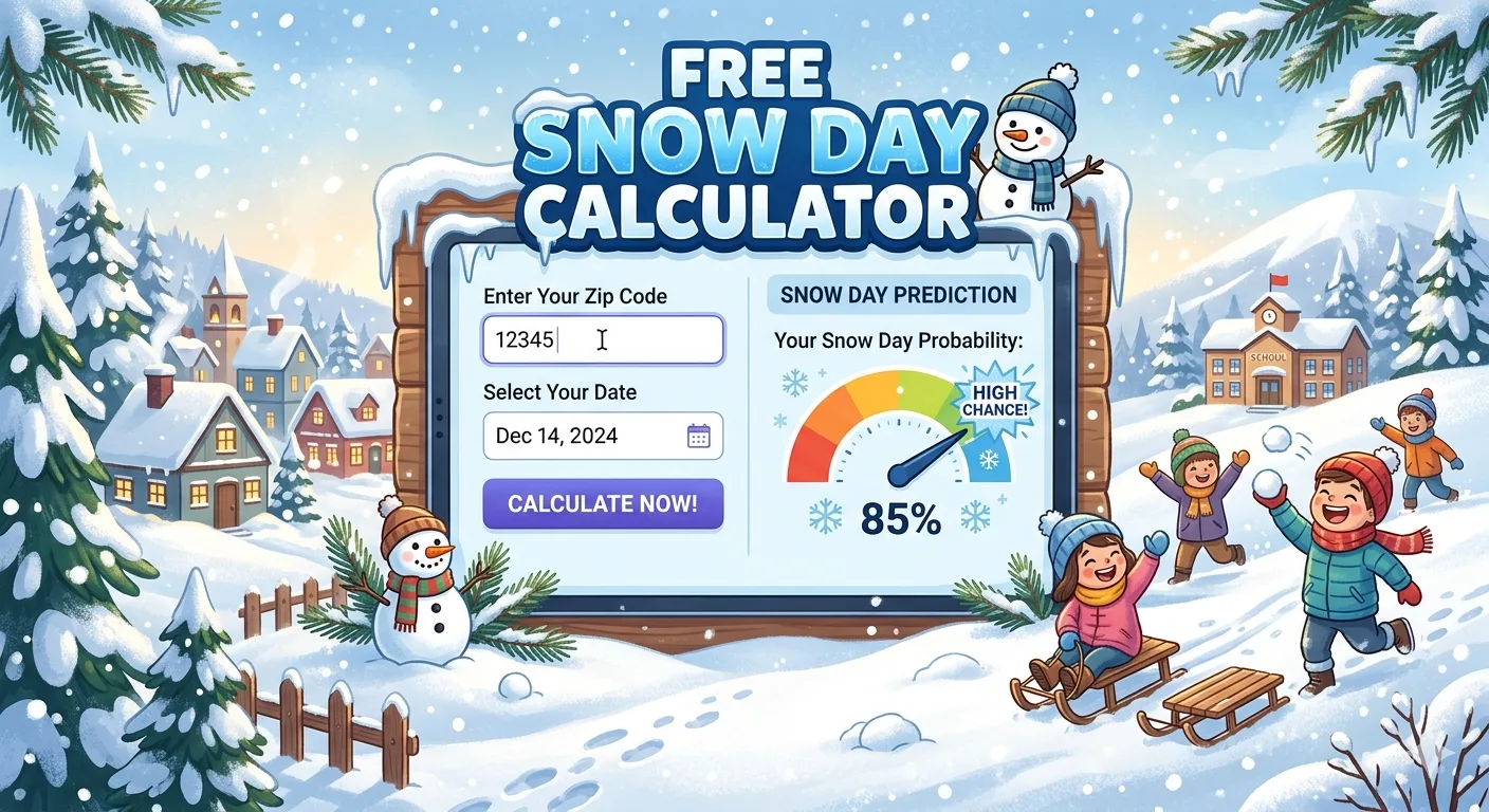
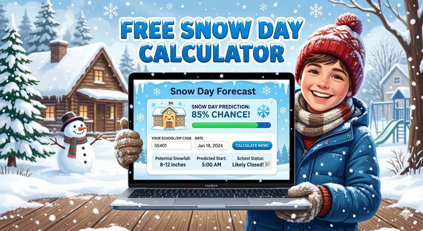
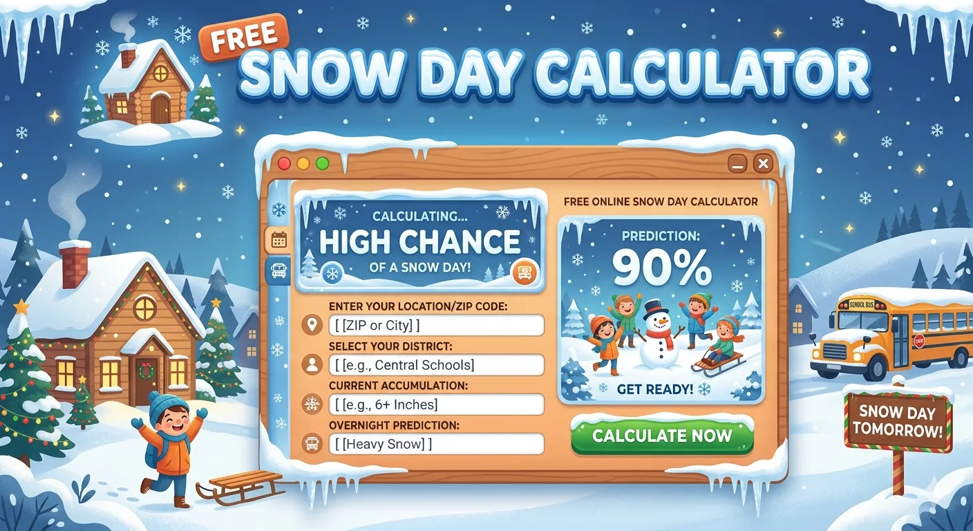
What Is a Free Snow Day Calculator?
A snow day calculator is a specialized online tool that analyzes real-time meteorological data and outputs a percentage probability that your school, workplace, or institution will close due to winter weather. Unlike a standard weather app that just tells you how many inches to expect, a snow day predictor translates raw weather data into a practical, actionable answer: open, delayed, or closed.
The "free, no sign-up" distinction matters enormously. Several popular tools have drifted toward freemium models that lock extended forecasts, detailed reports, or notification features behind paywalls or account registration walls. The best tools on the market today provide full core predictions hyperlocal percentage scores, storm factor breakdowns, and next-day outlooks completely free and anonymously.
How It Differs from a Standard Weather App
Standard weather apps answer: "How much snow is coming?" A snow day calculator answers: "Does that amount of snow actually close my school?" Those are fundamentally different questions. A district in Buffalo, New York might shrug at 6 inches, while a district in Dallas, Texas may shut down entirely for 2 inches of sleet. The calculator accounts for this regional variability automatically.
More than 60 percent of school closure decisions are driven by road conditions and bus route safety not raw snowfall totals. A quality snow day calculator weighs icy roads, wind chill, storm timing, and district-specific historical behavior, not just accumulation depth.
How Does a Free Snow Day Calculator Actually Work?
Modern snow day prediction tools follow a multi-step process that begins the moment you enter your ZIP code. Here is a clear breakdown of what happens under the hood:
- Location Lookup: Your ZIP code maps to a specific NOAA National Weather Service grid zone, typically at 2.5-kilometer resolution far more precise than city-level data.
- Live Data Pull: The calculator queries official meteorological APIs (NOAA NWS, Open-Meteo, AccuWeather) for current and forecasted conditions including snowfall amounts, temperature, wind speed, precipitation type, and storm timing.
- Multi-Factor Scoring: An algorithm (often AI-enhanced) weighs each factor according to its proven impact on school closure decisions in your geographic area.
- Historical Calibration: The model cross-references the current weather profile against historical closure patterns in your region, adjusting for local district policies.
- Probability Output: A percentage score is returned, typically ranging from 0% (school almost certainly open) to 100% (closure near certain), often updated every 15 to 60 minutes during active weather events.
Key Data Sources Powering These Calculators
The most accurate free tools draw from multiple authoritative sources simultaneously:
- NOAA National Weather Service (NWS) Government meteorologist-issued gridpoint forecasts, updated multiple times daily and considered the gold standard for U.S. weather data.
- NOAA Weather Prediction Center (WPC) Probabilistic Winter Weather Forecasts (PWPF) that provide geospatial snow probability maps across the continental U.S.
- Open-Meteo API High-resolution open-source weather data used by several next-generation calculators for global coverage.
- Historical school closure records Decades of district-level closure data that teach the model how your local administration actually behaves in varying conditions.
The 7 Critical Factors That Determine Your Snow Day
Superintendents and district officials evaluate a consistent set of variables before making a closure announcement usually by 5:30 AM on the day in question, though many districts with early start times decide as early as 4:30 AM. Here are the seven factors that matter most:
Why Storm Timing Is the Most Underrated Factor
Most people obsess over snowfall totals, but experienced prediction models know that timing is often the decisive variable. Three inches of snow falling between 3 AM and 6 AM when roads can be treated and plowed before buses run has a dramatically lower closure probability than the same 3 inches beginning at 5 AM. The best free calculators weight this distinction explicitly, adjusting probabilities based on when precipitation is expected to peak relative to school start times.
Snow Day Probability by Weather Condition: Data Overview
📊 Average School Closure Probability by Primary Weather Factor
(U.S. National Average, Based on Historical Closure Data)
Source: Aggregated from NOAA historical data and school closure pattern analysis | For illustrative purposes
How Accurate Are Free Snow Day Calculators?
Accuracy is the question everyone asks first. The honest answer: it depends heavily on forecast horizon. Here is a reliable breakdown of what current tools can realistically deliver:
| Forecast Window | Typical Accuracy Range | Best Practice |
|---|---|---|
| 12–24 hours out | 85% – 92% | Most reliable window check the night before |
| 24–48 hours out | 78% – 85% | Good planning window; re-check at 24 hrs |
| 3–5 days out | 70% – 80% | Useful for early awareness, not final planning |
| 5–7 days out | 50% – 65% | Highly variable; treat as general outlook only |
For maximum reliability, the optimal check window is between 6 PM and 10 PM the night before a predicted weather event. By that time, NOAA's overnight forecast models have ingested the most recent atmospheric data, giving calculators the freshest inputs. Checking at midnight often captures even more refined data as NWS issues updated advisories.
What Reduces Prediction Accuracy?
Even the best free tools have blind spots. Understanding them helps you calibrate expectations:
- Last-minute storm track shifts : A storm that pivots 50 miles north or south can radically change local accumulation totals with little warning.
- District-specific political factors : Administrators nearing their legally allotted number of makeup days may stay open under conditions that would normally trigger closure.
- Remote learning substitution : Many districts now invoke "virtual days" instead of traditional snow days, which calculators may not predict separately from full closures.
- Rapid urban plowing response : Well-resourced urban districts with large fleets may clear routes faster than historical models predict.
Why "No Sign-up Required" Is a Feature, Not Just a Convenience
It is worth stating plainly: you should never need to create an account to get a basic snow day prediction. The core calculation your ZIP code, real-time weather data, and a probability output involves no personal information whatsoever. Tools that require registration to unlock this basic function are collecting data, not serving users.
A genuinely free, no-sign-up snow day calculator means:
- No email address required
- No password to create or remember
- No personal data stored or shared
- Instant anonymous access from any browser or device
- No subscription renewal reminders
Optional features like SMS notifications, email alerts, multi-district dashboards, and extended 7-day outlooks are legitimate reasons a service might request an email address. But the core prediction should always be free and anonymous. Always verify whether a tool truly requires a sign-up for basic predictions before providing any personal information.
How to Use a Free Snow Day Calculator: Step-by-Step
Using the best free snow day calculators takes under 30 seconds. Here is exactly what to do for the most accurate result:
- Find your school's ZIP code : Use the school's ZIP code, not your home address, for the most location-specific weather data. Schools are the decision point.
- Enter the ZIP code or city name : Most tools accept both formats. Some Canadian tools also accept postal codes.
- Check between 9 PM and midnight : This window captures the latest NWS evening model runs and typically reflects the most accurate overnight accumulation forecast.
- Read the full breakdown : Do not just look at the percentage. Review storm timing, factor weights, and any active weather alerts to understand why the probability is what it is.
- Re-check closer to morning : Set a reminder for 5:00 AM if conditions are marginal (40–70% probability). Conditions can shift significantly overnight.
- Verify through official channels : Always confirm against your district's website, automated phone system, or local news before making final plans. No calculator replaces the official announcement.
Best Times to Check for Maximum Accuracy
NOAA updates its gridpoint forecast data at scheduled intervals throughout the day. Snow day calculators that pull from these feeds in real time are most informative immediately after a major update cycle. The key update windows are roughly 6 AM, noon, 6 PM, and midnight local time. Checking within 30 minutes of one of these updates gives you the freshest possible data.
Regional Differences: Why Location Matters Enormously
One of the biggest misconceptions about snow day calculators is that a single national threshold applies everywhere. It absolutely does not. Regional variability is one of the most important factors a quality free calculator accounts for.
Northern States vs. Southern States
A school district in upstate New York or Michigan's Upper Peninsula operates with significant snow removal infrastructure, experienced bus drivers on winter routes, and a community accustomed to heavy snowfall. They may not close for 6 inches. Compare this to a district in Georgia or Tennessee where the same storm may trigger closure for 1 to 2 inches because the region lacks salt trucks, winter tires on buses, and driver training for icy conditions.
Urban vs. Rural Districts
Urban districts benefit from more frequent municipal road treatment and plowing, which lowers closure probability relative to rural counterparts. Rural districts are statistically more likely to close first their bus routes often include hills, unpaved roads, and longer distances that amplify the danger of any road-condition deterioration.
U.S. vs. Canada
Canadian calculators must account for fundamentally different weather patterns and school board policies. Provinces like Ontario experience heavy lake-effect snow from the Great Lakes, while Prairie provinces see prolonged extreme cold. Canadian closures are more commonly triggered by temperature-based wind chill thresholds (below -30°C / -22°F) rather than snowfall depth alone.
| Region | Typical Closure Snowfall Threshold | Primary Trigger |
|---|---|---|
| Northeast U.S. (NY, MA, CT) | 6 – 10+ inches | Accumulation + road ice |
| Midwest U.S. (OH, MI, IL) | 4 – 8 inches | Blowing snow + visibility |
| Southeast U.S. (GA, TN, VA) | 1 – 3 inches | Any ice; low infrastructure |
| Pacific Northwest (WA, OR) | 2 – 4 inches | Ice on hills; hilly terrain |
| Canada (Ontario, Quebec) | Varies widely | Wind chill / ice accumulation |
Snow Day Myths vs. Reality: What Science Actually Says
No article about snow days would be complete without addressing the beloved rituals that generations of students swear by. Here is what the data actually supports:
The Spoon Under the Pillow Ritual
Statistically: zero predictive power. Meteorologically: not a factor. The enduring popularity of this tradition speaks to the human desire for agency in the face of uncertainty which is precisely why accurate, free calculators matter. You can swap the spoon for a ZIP code lookup and get an evidence-based answer instead.
Flushing Ice Cubes Down the Toilet
Also zero predictive or causal power. What does matter: the actual temperature of the water that will later fall from clouds, the thermal state of road surfaces, and whether your district's maintenance team has had time to pre-treat routes. None of these are influenced by bathroom plumbing activities.
"More Snow Always Means Higher Chance"
False. As established above, timing often outweighs total accumulation. Five inches falling gently from 8 PM to 4 AM fully plowable by morning may produce a lower closure probability than 2 inches of freezing rain beginning at 5 AM, which gives road crews no treatment window before buses roll.
Read More : Is It Going to Snow Tomorrow
Pro Tips for Getting the Most Accurate Snow Day Prediction
After reviewing the leading free calculators and the meteorological science behind them, here are the most reliable practices for getting actionable, accurate predictions:
- Use your school's ZIP code, not your home ZIP, for the most relevant hyperlocal data.
- Check multiple tools. If three independent calculators all show 80%+ probability, confidence in a closure should be high. Divergence between tools suggests genuine forecast uncertainty.
- Monitor storm timing indicators more closely than accumulation totals especially overnight vs. early morning start times.
- Watch for NWS Winter Storm Warnings and Winter Weather Advisories in your area. These official alerts significantly increase closure probability in most districts.
- Note whether freezing rain is in the forecast even a tenth of an inch can be more disruptive than several inches of snow.
- Know your district's policy history. Has your superintendent been conservative or liberal in past decisions? This context helps you interpret a borderline 50–60% prediction.
- Set your phone to check at midnight for the most current NWS model data before morning announcements.
Pro Tip: The single most predictive action you can take is to check your calculator between 9 PM and midnight the night before a potential weather event, using your school's specific ZIP code. Predictions at this window consistently outperform daytime forecasts for next-morning accuracy.
Snow Days in the Remote Learning Era: What Has Changed?
The COVID-19 pandemic fundamentally changed how many school districts think about weather closures. Before 2020, a snow day was binary: school was open or closed. Today, a growing number of districts have formalized "virtual day" or "remote learning day" policies that allow them to maintain instruction even when in-person attendance is impossible.
This shift has several implications for snow day calculators:
- Some calculators now distinguish between a full closure and a virtual-day substitution in their probability outputs.
- Districts with remote learning policies may appear statistically "less likely to close" because they use virtual days for storms that previously triggered full cancellations.
- Students and parents benefit from understanding whether a given district counts virtual days against its mandatory instructional day minimum which affects how readily administrators invoke the option.
The best modern calculators flag when remote learning policies are known for a given district, helping users interpret the probability score in full context. This is one area where today's tools have meaningfully surpassed earlier generations of predictors.
Conclusion: The Smartest Winter Planning Tool You Are Not Using Enough
A free snow day calculator with no sign-up required is one of the most practical, underutilized tools in any winter household or school community. It transforms a stressful morning guessing game into a data-driven decision backed by the same official NOAA weather sources that government emergency managers rely on, delivered instantly through a simple ZIP code search.
The key takeaways from everything covered in this guide:
- Use your school's ZIP code, not your home address.
- Check between 9 PM and midnight for the sharpest next-day predictions.
- Watch storm timing as much as snowfall totals morning storms are far more disruptive.
- Any ice or freezing rain in the forecast dramatically raises closure probability.
- Always verify with your district's official channels before making firm plans.
- You should never need to pay or create an account for a core snow day prediction.
Winter weather is unpredictable. A well-designed, free snow day calculator won't guarantee certainty but it will give you the best available evidence, updated in real time, to make smart decisions for your family, your schedule, and your peace of mind.
Also Checkout :