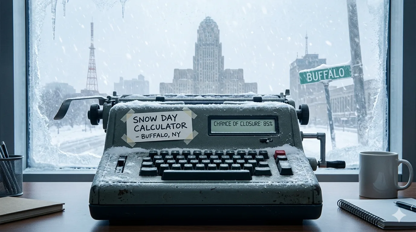
If you live in Western New York, you already know the drill: you wake up at 5 AM, pull back the curtain, and see a wall of white. The snow day calculator for Buffalo NY takes that guesswork away. This guide explains how the calculator works, what factors it weighs, and how you can use it to plan your morning before the alarm even goes off.
Buffalo is one of the snowiest cities in the United States. Lake-effect snow from Lake Erie can drop 15 to 30 centimeters of snow in a single day, turning a clear afternoon into a whiteout by midnight. That unpredictability is exactly why families, students, teachers, and school administrators across Erie County rely on a snow day calculator for Buffalo NY every winter.
This guide covers everything: how the tool works, the formula behind it, real examples from Buffalo winters, pro tips for using it correctly, and what school districts actually look for before calling a closure.
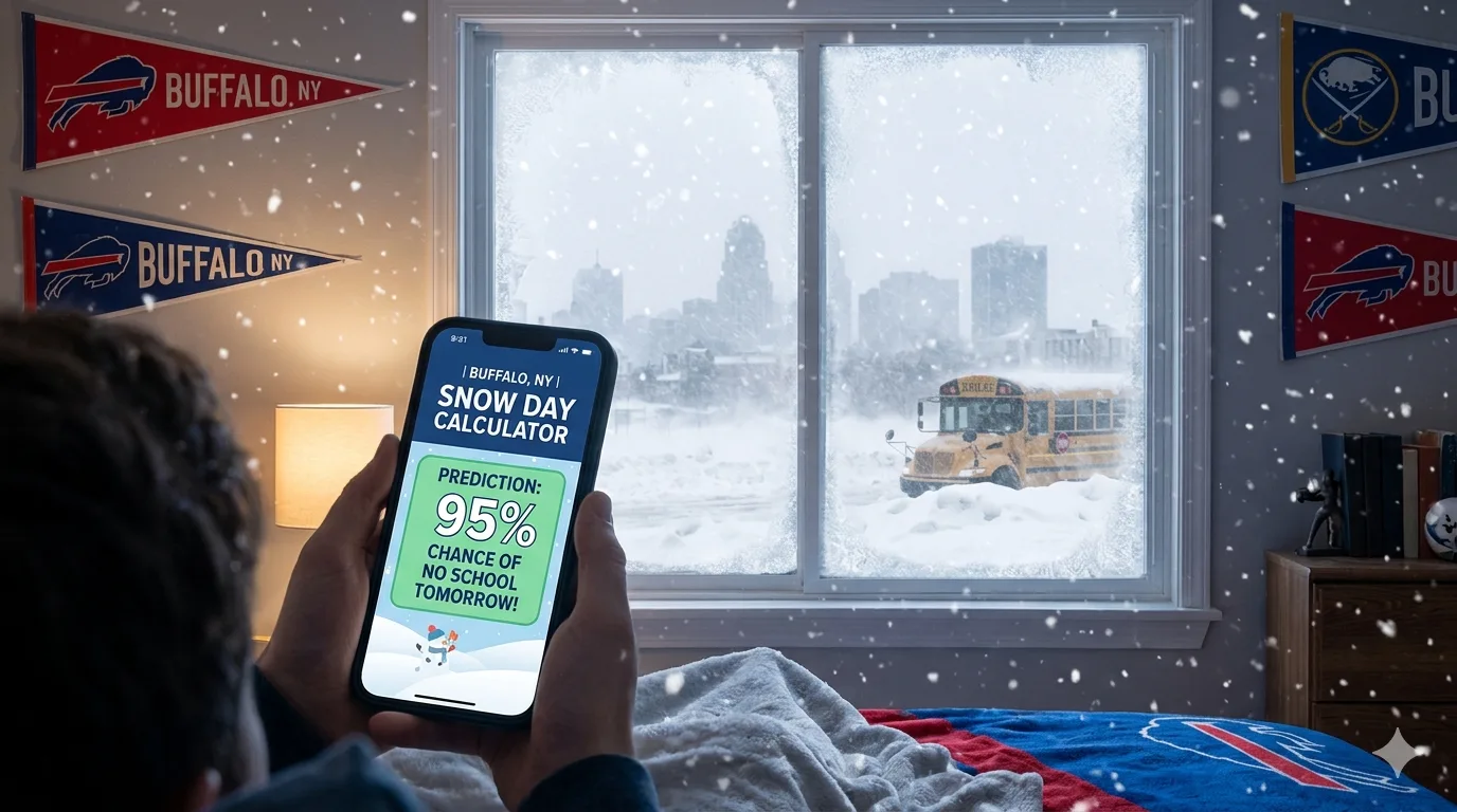
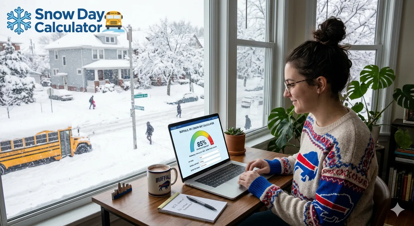
❄️ Check Your Snow Day Chances Right Now
Enter your Buffalo-area ZIP code to get an instant school closure prediction based on live National Weather Service data.
Open Snow Day CalculatorWhat Is a Snow Day Calculator for Buffalo NY?
A snow day calculator for Buffalo NY is an online tool that analyzes real-time and forecasted weather conditions to estimate the probability that local schools will cancel classes the following day. Rather than guessing based on a single snowfall total, the calculator weighs multiple variables that school administrators actually consider.
The original Snow Day Calculator was built in 2007 by a middle school student named David Sukhin as a side project. By 2010 it had added automatic data retrieval from the National Weather Service, making predictions possible for any US ZIP code. Today, several competing platforms offer Buffalo-specific predictions, each with slightly different algorithms.
For Buffalo and Western New York, these tools are especially important because lake-effect snow behaves differently from general winter storms. It is hyper-local, fast-moving, and capable of dropping inches of snow per hour in a narrow geographic band while neighboring streets remain dry.
Who Uses It?
- Parents who need to arrange childcare or adjust their work schedule
- Students hoping for a snow day (the core audience since 2007)
- Teachers preparing digital or remote lesson plans as a backup
- Bus drivers and transportation staff assessing route safety
- School administrators cross-checking tool predictions against official weather data
Why Buffalo NY Is Unique: The Lake-Effect Snow Factor
No discussion of the snow day calculator Buffalo NY is complete without understanding lake-effect snow. Buffalo sits on the eastern shore of Lake Erie. When cold Arctic air moves southeast across the relatively warm lake water, it picks up moisture and becomes saturated. That moisture dumps as intense, localized snow on the Buffalo metro area and surrounding communities.
The result is that Buffalo does not respond to snow the way most US cities do. While New York City may close schools for 3 to 5 inches of snow, Buffalo-area districts typically remain open until snowfall reaches 6 to 10 inches or more, unless the storm is accompanied by ice, whiteout conditions, or arrives precisely during the morning commute window.
Buffalo averages over 95 inches of snow per year, placing it among the top 10 snowiest major cities in the United States. Lake-effect events account for the majority of that total, often striking in narrow geographic bands that can differ dramatically even across a single suburb.
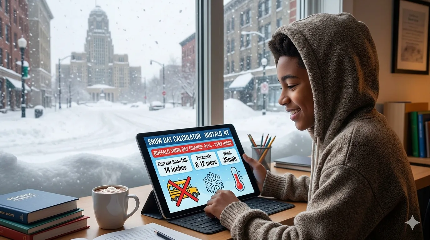
How Does the Snow Day Calculator Work? The Formula Explained
Most people type in their ZIP code and accept the result, but understanding the prediction formula helps you interpret it more accurately. The snow day calculator for Buffalo NY combines several real-time data streams into a weighted probability score.
The Core Variables
| Variable | Why It Matters for Buffalo | Weight |
|---|---|---|
| Snowfall Accumulation | Total expected inches by school start time | High |
| Snowfall Rate | Inches per hour; lake-effect can hit 3–5"/hr | Very High |
| Storm Timing | Does the band hit during the 6–8 AM commute? | Very High |
| Ice / Freezing Rain | Small amounts can be more dangerous than 12" of snow | High |
| Wind Chill | Extreme cold alone can trigger closures | Medium |
| Road Surface Temp | Determines if roads freeze or clear quickly | Medium |
| Historical District Patterns | Some districts close earlier than others consistently | Medium |
| Forecast Confidence | High-uncertainty forecasts lower the prediction score | Low–Medium |
The Simplified Prediction Formula
(AccumulationScore × 0.30)
+ (SnowfallRateScore × 0.25)
+ (TimingScore × 0.20)
+ (IceScore × 0.15)
+ (WindChillScore × 0.10)
Result: 0–100% probability of school closure
Each sub-score is calculated from live National Weather Service forecast data, which updates multiple times per day and more frequently during active weather events. The final percentage is what you see on the calculator screen.
How to Use the Snow Day Calculator for Buffalo NY: Step-by-Step
Using the tool is simple, but there are a few tricks that make your prediction significantly more reliable.
-
Wait until after 6 PM the evening before a potential snow day. Weather models become most accurate within a 12 to 24 hour window. Checking at 2 PM may give you a very different result than checking at 9 PM.
-
Enter your specific ZIP code, not just "Buffalo, NY." Lake-effect snow is hyper-local. ZIP 14225 (Cheektowaga) and ZIP 14224 (West Seneca) can see wildly different snowfall totals from the same storm. A ZIP-code-level prediction is far more accurate than a city-wide one.
-
Select your school type if the calculator offers that option. Public school districts in Buffalo follow county-wide standards and bus-route safety criteria. Private schools and colleges have different thresholds and often make independent decisions.
-
Note the probability percentage AND the delay probability. Many Buffalo-area storms result in a 2-hour delay rather than a full closure. The best calculators display both figures separately.
-
Check back at 5 AM on the morning of the event. Most Buffalo-area school districts announce closures or delays between 5:00 AM and 6:00 AM. Running the calculator one more time at 5 AM gives you the most current forecast-based prediction.
The single most important timing tip: check your snow day calculator after 6 PM the night before a storm. This is when forecast models reach their highest accuracy for the next morning and when most districts are finalizing their own internal decisions.
Buffalo School Closure Thresholds: What Districts Actually Look For
The snow day calculator models what administrators look for, but it helps to know these criteria directly. Unlike many US districts, Buffalo-area schools are accustomed to heavy snow and have robust plowing infrastructure. That means the bar for closure is higher.
Public Schools (Buffalo City School District and Surrounding Districts)
- Typically do not close for under 6 to 8 inches of general snowfall
- More likely to close when lake-effect bands arrive between 5 AM and 8 AM
- Bus route safety across a wide geographic area is the primary concern
- Freezing rain or ice creates a much lower threshold than pure snowfall
- Wind chills below negative 20°F can trigger a cold day closure even without snow
Suburban Districts (Orchard Park, Amherst, Tonawanda, Hamburg, etc.)
- May close at slightly lower thresholds due to more complex bus routes
- South towns suburbs (Orchard Park, Hamburg, Lackawanna) are the heaviest lake-effect targets and close more frequently
- North towns suburbs (Amherst, Tonawanda, Kenmore) have somewhat lower average totals
Private Schools, Charter Schools, and Colleges
- Make independent decisions not tied to district announcements
- Private K–12 schools may close at lower thresholds
- UB (University at Buffalo), Canisius, and D'Youville rarely cancel for under 12 inches, and almost never issue delays
Read More : How Cold Does It Have to Be to Cancel School
Real Buffalo Snow Day Examples: How the Calculator Performed
Example 1: The January 2026 Lake-Effect Event
In January 2026, a powerful lake-effect band set up over the southern suburbs of Buffalo, dropping over two feet of snow in some areas over 48 hours. The National Weather Service issued Lake-Effect Snow Warnings in advance, and school districts from Orchard Park to Hamburg closed on January 20, 2026. Snow day calculators had this event at 85 to 95% closure probability by 7 PM the previous evening due to the storm's timing, intensity, and the sub-zero wind chills accompanying it.
Example 2: The December 2017 South-Shift Event
A morning lake-effect band shifted south and caught several suburbs off guard. Districts including Frontier Central, Hamburg Central, and Orchard Park issued closures or delays. The calculators had flagged a 60 to 75% chance the evening before, correctly identifying the risk. Districts in northern Erie County, outside the band, remained open.
Example 3: Classic Overperformance Scenario
In a well-documented pattern, storms forecast to bring 4 to 6 inches sometimes intensify overnight due to lake-effect enhancement, delivering 14 to 18 inches by morning. This is why rechecking the calculator at 5 AM is critical: an updated forecast can move a 40% closure probability to 90% in a matter of hours.
Benefits of Using a Snow Day Calculator in Buffalo
For Parents and Families
A snow day in Buffalo without notice can derail an entire workday. With a reliable prediction the night before, you can arrange childcare, adjust your schedule, contact your employer, and prepare backup plans without scrambling at 5 AM. The mental load of Buffalo winters drops significantly when you have data on your side.
For Students
Let's be honest: every student in Buffalo checks the snow day calculator hoping for a 90%+ prediction. But it also helps students plan whether to complete that assignment tonight or risk a snow day tomorrow. The calculator's output is actionable for everyone, not just parents and administrators.
For Teachers and School Staff
Teachers who see a high closure probability can prepare digital assignments, upload materials to Google Classroom, or record video lessons the evening before, turning a reactive snow day into a productive remote learning day. Many Buffalo-area districts now require contingency planning for storm days.
For Businesses Near Schools
Businesses that depend on school schedules, from afterschool programs to daycare providers to tutoring centers, can adjust staffing and notify clients when the calculator shows elevated closure risk.
Common Mistakes to Avoid When Using the Calculator
- Checking too early. A prediction made 36 hours in advance is far less reliable than one made 12 hours out. Wait until the evening before.
- Using city-level instead of ZIP-code-level results. "Buffalo, NY" as a search term averages across a large area. Lake-effect bands can skip one ZIP code entirely and bury the next one in 18 inches.
- Ignoring the delay probability. Buffalo schools frequently issue 2-hour delays instead of full closures. A 25% closure chance might still carry a 60% delay chance.
- Assuming the calculator is definitive. These are probability estimates, not guarantees. Always check your district's official website, app, or local TV station (WGRZ, WKBW, WIVB) for official announcements.
- Not accounting for your specific district's pattern. Some Erie County districts have a history of closing earlier than others. Local knowledge combined with the calculator's output is always more accurate than either alone.
Where to Find Official Buffalo School Closure Announcements
Always confirm calculator predictions against official sources. Here are the most reliable ways to get confirmed school closure information for Buffalo and Western New York:
- Your district's official website (most post closures in the news or alerts section)
- WGRZ Channel 2, WIVB Channel 4, WKBW Channel 7 all maintain live school closings lists updated in real time
- Buffalo News School Closings page
- Your district's automated phone call or text alert system (sign up in advance through your school's parent portal)
Conclusion
The snow day calculator for Buffalo NY is one of the most practical winter tools available to Western New York families. Buffalo's lake-effect snow environment is unique: storms are fast, intense, hyper-local, and capable of making roads impassable within minutes of being clear. A good calculator, checked at the right time with the right ZIP code, takes the guesswork out of your morning.
Remember to check after 6 PM, use your specific ZIP code, note both the closure and delay percentages, and always confirm against your district's official channels. When the calculator shows 80% or higher for your ZIP code, it is time to make your backup plans and get some extra sleep.
Also Checkout :