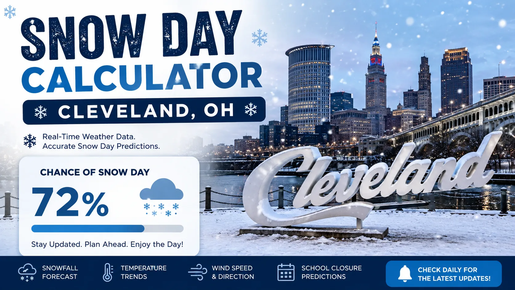
If you live near Lake Erie, you already know that Cleveland winters are unpredictable. A snow day calculator for Cleveland, OH uses local weather inputs, like snowfall totals, wind chill, and timing, to estimate the odds that your school district will call off classes. This guide explains exactly how that prediction works, walks you through using the tool step by step, and breaks down how real Cleveland-area districts actually make the call.
You can jump straight to the Snow Day Calculator and enter your zip code, or keep reading to understand what is happening behind the scenes.
What Is a Snow Day Calculator (Cleveland Edition)
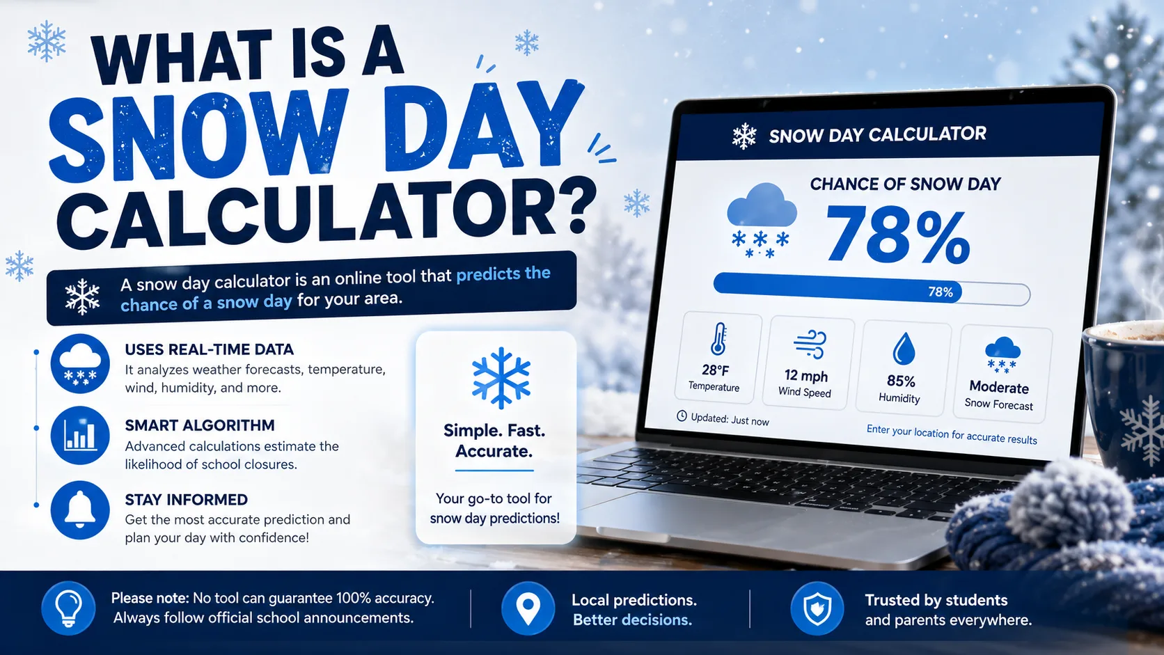
A snow day calculator is a free prediction tool that estimates the likelihood of a school closure or delay based on current and forecast weather conditions. The Cleveland version is tuned for one specific reality: lake-effect snow.
Cleveland sits on the southern shore of Lake Erie, and cold air moving across the relatively warm lake water picks up moisture and dumps it as snow on the metro area. That effect gives Cleveland an average of roughly 64 inches of snow per year, far more than inland Ohio cities that do not sit downwind of a Great Lake.
Because that snow does not fall evenly, a calculator built specifically for Cleveland has to account for something a generic national tool cannot: the snow belt. Lake, Geauga, the eastern half of Cuyahoga, and Ashtabula counties form the primary snow belt and typically see the heaviest totals. Lorain, Medina, and the southern parts of Summit, Portage, and Trumbull counties make up a secondary belt. A west-side Cleveland neighborhood and an east-side suburb just 20 miles apart can have completely different snow day odds on the same night.
How Does the Cleveland Snow Day Calculator Work
The calculator answers the query directly: it converts local forecast data into a percentage chance of a closure, delay, or normal school day. It does this by weighing several inputs the same way a superintendent would.
The Core Formula Logic
Behind the scenes, the tool scores each factor and combines them into a single probability. In simplified form, the logic looks like this:
- Snowfall total (last 12-24 hours): heavier accumulation raises the score
- Wind chill: sustained wind chill near or below -15°F sharply raises the score
- Timing of the storm: snow arriving during the morning commute scores higher than snow that stops overnight
- Road treatment status: untreated or icy roads add to the score
- Recent closure history: a district that already used several calamity days is slightly less likely to call another one unless conditions are severe
- Day of week: Fridays and days before holidays see a very small downward adjustment in practice
Each factor is weighted, added together, and converted into a percentage. A score above roughly 80% is displayed as "Likely Closure," 50 to 79% as "Possible Delay," and below 50% as "School Likely Open."
Why Wind Chill Matters So Much in Cleveland
Several Cleveland-area school systems use a specific wind chill threshold as an unofficial trigger point. Parma City Schools Superintendent Charles Smialek has explained that a sustained wind chill of 15 below zero has historically "been an automatic call" for closing schools, though districts have grown more cautious even at less extreme readings in recent years. That is exactly why the calculator weighs wind chill so heavily for Cleveland-area zip codes, not just raw temperature.
Step-by-Step Guide to Using the Calculator
Getting a prediction takes less than a minute. Here is exactly how to do it.
- Go to the calculator. Visit the main Snow Day Calculator on your phone or computer.
- Enter your zip code or district name. Because of the snow belt effect, this is the single most important step for Cleveland-area users.
- Select tomorrow's date. The tool automatically pulls the latest forecast for that date and location.
- Review your percentage score. You will see a closure probability along with the top factors driving that number.
- Check back before bed and again early morning. Forecasts shift, and many Cleveland districts do not finalize a decision until 5 or 6 a.m.
- Compare with your district's official channel. Use the calculator as a planning tool, then confirm with your school's own notification system once it posts.
For families managing multiple kids in different buildings, the state-by-state predictions page can help if you also have relatives or students outside Ohio.
How Cleveland-Area Schools Actually Decide
Understanding the real decision-making process helps explain why the calculator weighs the factors it does.
There Is No Official Temperature Cutoff
Ohio state law does not set a specific temperature at which schools must close. That decision legally belongs to each district's superintendent alone. The Cleveland Metropolitan School District follows an internal inclement weather playbook, which generally keeps schools open when the ambient air temperature stays above zero degrees, and the district typically announces a final call by 5 a.m. if it has not already decided the night before.
Smaller Snow-Belt Districts Move Faster
Districts in the heavier snow belt, like Mayfield, often begin the decision process around 2 a.m., checking road conditions, wind chill, and visibility with transportation staff before a 6 a.m. announcement. Mayfield Superintendent Keith Kelly has described the region's weather along Lake Erie as "down-right unpredictable," which is a big part of why those districts build in extra lead time.
Ohio's Hours-Based System Changes the Math Late in Winter
Ohio requires students to be in session for a set number of hours each year, 910 hours for grades one through six and 1,001 hours for grades seven through twelve, rather than a fixed number of "snow days." Districts bank extra instructional hours early in the year specifically to absorb winter closures, and once that buffer runs low, a district becomes more reluctant to call a closure for anything short of genuinely unsafe conditions.
Real-World Example: How the Score Plays Out
Here is a simplified example of how three Cleveland-area scenarios might score, based on the factors described above.
| Scenario | Snowfall Forecast | Wind Chill | Timing | Estimated Score |
|---|---|---|---|---|
| Downtown Cleveland, light lake-effect band | 2-4 inches overnight | 10°F | Ends before 6 a.m. | 25% (Likely Open) |
| West-side suburb, moderate storm | 5-7 inches, continuing into morning | -5°F | Peaks during commute | 65% (Possible Delay) |
| Primary snow belt (Geauga/Lake County) | 10+ inches, lake-effect bands | -16°F | Overnight into morning | 92% (Likely Closure) |
Notice how the same regional storm produces very different scores depending on the exact location. This is the pattern Cleveland families see almost every winter: west-side and downtown schools stay open while primary snow-belt districts close on the same day.
Read More : Snow Days vs Remote Learning 2026
Common Mistakes and Pro Tips
Common Mistakes
- Using a national or generic calculator. Tools that are not tuned for lake-effect snow will underweight wind chill and overweight raw snowfall totals.
- Checking only the night before. Many districts wait until early morning because lake-effect bands can shift overnight.
- Assuming neighboring districts will match. Snow belt geography means one town's closure does not predict another's.
- Ignoring road treatment status. Two identical snowfall totals can lead to different decisions if one area's roads were pre-treated and the other's were not.
Pro Tips
- Check the calculator twice: once before bed, once by 5 a.m.
- Pay attention to wind chill, not just the thermometer reading.
- If you are near a county line, run the calculator for both nearby zip codes.
- Keep an eye on the Wind Chill Calculator directly if a cold snap is forecast without much new snow, since extreme cold alone can close schools even on a dry day.
Snow Day Calculator vs. Other Prediction Methods
| Method | Speed | Cleveland Snow Belt Accuracy | Cost |
|---|---|---|---|
| Snow Day Calculator | Instant | High (zip-code specific) | Free |
| General weather app forecast | Instant | Medium (not closure-specific) | Free |
| Waiting for district announcement | Slow (often 5-6 a.m.) | Highest (it's the actual decision) | Free |
| Asking neighbors or social media | Fast but unreliable | Low | Free |
The calculator is best used as a planning tool the night before and again early morning, not as a replacement for your school's official notification.
Conclusion
Cleveland's lake-effect snow makes school closures harder to predict than almost anywhere else in Ohio, but that is exactly what a purpose-built snow day calculator for Cleveland, OH is designed to handle. By weighing snowfall, wind chill, timing, and your specific snow belt location, the tool gives you a realistic read before your district makes its official call. Check your forecast, read up on the latest posts on the blog, and try the calculator above before your next winter storm.