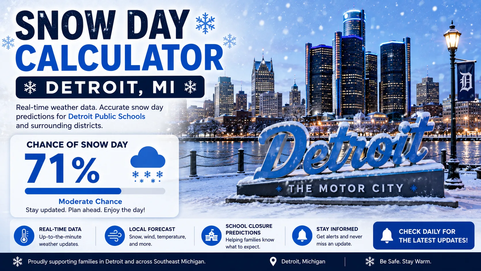
In Metro Detroit, one district can hold class while the district next door cancels on the exact same morning. A snow day calculator for Detroit, MI uses local weather inputs, especially wind chill, to estimate the odds that your specific district will call off classes. This guide explains how that prediction works, walks through using the tool step by step, and breaks down why Metro Detroit closures look so inconsistent from one suburb to the next.
You can jump straight to the Snow Day Calculator and enter your zip code, or keep reading to understand what drives the score.
What Is a Snow Day Calculator (Detroit Edition)
A snow day calculator is a free prediction tool that estimates the likelihood of a school closure or delay based on current and forecast weather conditions. The Detroit version has to account for something that trips up generic tools: Metro Detroit districts do not share one closure threshold.
Detroit averages roughly 37 to 43 inches of snow per year, with January typically the snowiest month at around 11 to 12 inches. That is moderate compared to Michigan's true lake-effect snow belt closer to Lake Michigan, but it is enough, combined with cold snaps, to trigger closures throughout the winter.
How Does the Detroit Snow Day Calculator Work
The calculator answers the query directly: it converts local forecast data into a percentage chance of a closure or delay, adjusted to your specific district's published policy where one exists.
The Core Formula Logic
In simplified form, the score is built from these inputs:
- Forecast wind chill: the leading factor for most Metro Detroit districts; thresholds commonly range from -15°F to -25°F depending on the district
- District-specific policy match: the tool checks whether the forecast wind chill crosses your district's own published guideline, since these vary block by block across the metro
- Snowfall total (last 12-24 hours): matters most when combined with cold, since heavy snow plus deep cold slows plowing and bus routes together
- Timing: conditions arriving during morning bus pickup or afternoon dismissal score higher than conditions confined to overnight hours
- Neighboring district activity: Metro Detroit superintendents frequently coordinate by phone before making a final call, so nearby closures nudge scores upward
- Remaining weather days for the year: Michigan districts can only call off a limited number of days before needing a waiver, which makes some districts more cautious later in winter
Each factor is weighted, added together, and converted into a percentage. A score above roughly 80% is shown as "Likely Closure," 50 to 79% as "Possible Delay," and below 50% as "School Likely Open."
Why Detroit-Area Closures Look Inconsistent
Southeast Michigan districts publish a wide range of cold-weather thresholds. Some close at a wind chill of -15°F, others wait until -20°F to -25°F. Royal Oak Superintendent John Tafelski has described how neighboring districts coordinate as conditions worsen, noting that county-wide calls begin once it gets "colder than -15 with the wind chill." That is exactly why the same cold snap can close Detroit Public Schools Community District while a neighboring suburb stays open a little longer.
Step-by-Step Guide to Using the Calculator
Getting a prediction takes less than a minute. Here is exactly how to do it.
- Go to the calculator. Visit the main Snow Day Calculator on your phone or computer.
- Enter your zip code or district name. Because thresholds vary so much across Metro Detroit, this step matters more here than in most metro areas.
- Select tomorrow's date. The tool automatically pulls the latest forecast, including expected wind chill during bus pickup hours, for that date and location.
- Review your percentage score. You will see a closure probability along with the top factors driving that number.
- Check back before bed and again around 5 a.m. Many Metro Detroit superintendents aim to finalize a decision by 5 a.m. so families have time to plan.
- Compare with your district's official channel. Use the calculator as a planning tool, then confirm with your school's own notification system once it posts.
If you also want closure odds for family in other cold-weather cities, the state-by-state predictions page covers those too.
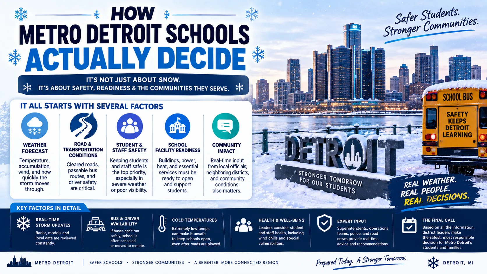
How Metro Detroit Schools Actually Decide
Understanding the real decision-making process explains why the calculator treats Detroit differently from a generic cold-weather city.
Michigan Has No Statewide Temperature Rule
Michigan does not set a single statewide temperature that forces schools to close. Each district writes its own policy, and those policies genuinely differ. Southeast Michigan districts most often use wind chill thresholds somewhere between -15°F and -25°F, with some districts also weighing straight air temperature alongside wind chill rather than relying on wind chill alone.
Superintendents Talk to Each Other Before Deciding
Clawson Superintendent Billy Schellenbarger has said that as the forecast wind chill approaches -20°F, "conversations intensify" among neighboring Oakland County superintendents. Coloma Community Schools Superintendent Dave Ehlers has summed up the underlying priority simply: if student safety is doubted at all, the district closes. These conversations, plus each district's own bus routes and how many students walk to school, explain why closures ripple unevenly across Metro Detroit rather than hitting every district at once.
Michigan's Limited "Snow Day Bank" Shapes Late-Winter Decisions
Michigan schools must hold at least 180 days of class each year and can cancel up to six days for weather or other emergencies without penalty. Districts can request a waiver from the state for up to three additional days. Once a district goes beyond that combined total, it may have to extend the school year or add instructional hours elsewhere, which makes some superintendents more conservative about closures once they are deep into a snowy winter.
Real-World Example: How the Score Plays Out
Here is a simplified example of how three Metro Detroit scenarios might score, based on the factors described above.
| Scenario | Forecast Wind Chill | Snowfall Forecast | Timing | Estimated Score |
|---|---|---|---|---|
| Mild cold snap, dry | -8°F | None to light | Coldest before sunrise | 15% (Likely Open) |
| Moderate snow plus cold | -17°F | 3-5 inches overnight | Continuing into morning bus pickup | 60% (Possible Delay) |
| Severe wind chill event | -24°F | 1-2 inches | Peaks during morning bus pickup | 90% (Likely Closure) |
Notice how the middle scenario lands in "possible" territory. That is deliberate. At a -17°F wind chill, some Metro Detroit districts would already be closing while others would still be watching, which is exactly the kind of gap the district-specific match in the calculator is built to catch.
Read More : Snow Day Calculator Minneapolis, MN
Common Mistakes and Pro Tips
Common Mistakes
- Assuming one "Detroit" answer applies to every district. Published thresholds vary by 10 degrees or more across neighboring districts.
- Watching only snowfall totals. A dry, extremely cold morning can close school just as fast as a snowstorm.
- Checking only the night before. Overnight wind chill can shift enough by 5 a.m. to change the outcome.
- Ignoring the time of day the cold peaks. Cold that peaks during bus pickup or afternoon dismissal is weighed more heavily than cold that peaks at 3 a.m.
Pro Tips
- Check the calculator twice: once before bed, once around 5 a.m.
- Look up your specific district's published wind chill threshold if you can find it, and compare it to the forecast yourself.
- Use the Wind Chill Calculator directly when a cold snap is forecast without much new snow, since wind chill alone often decides the outcome in Metro Detroit.
- Keep your district's own alert system turned on as the final confirmation source.
Snow Day Calculator vs. Other Prediction Methods
| Method | Speed | Detroit District Accuracy | Cost |
|---|---|---|---|
| Snow Day Calculator | Instant | High (district-specific threshold match) | Free |
| General weather app forecast | Instant | Medium (not closure-specific) | Free |
| Waiting for district announcement | Slow (often by 5 a.m.) | Highest (it's the actual decision) | Free |
| Asking neighbors or social media | Fast but unreliable | Low | Free |
The calculator works best as a planning tool the night before and again early morning, not as a replacement for your school's official notification.
Conclusion
Metro Detroit's patchwork of district-specific wind chill thresholds makes closures harder to predict with a one-size-fits-all tool. A purpose-built snow day calculator for Detroit, MI accounts for that by weighing wind chill against your specific district's known pattern, then adjusting for timing and how neighboring districts are trending. Check your forecast, read the latest posts on the blog, and try the calculator above before the next cold snap moves in.