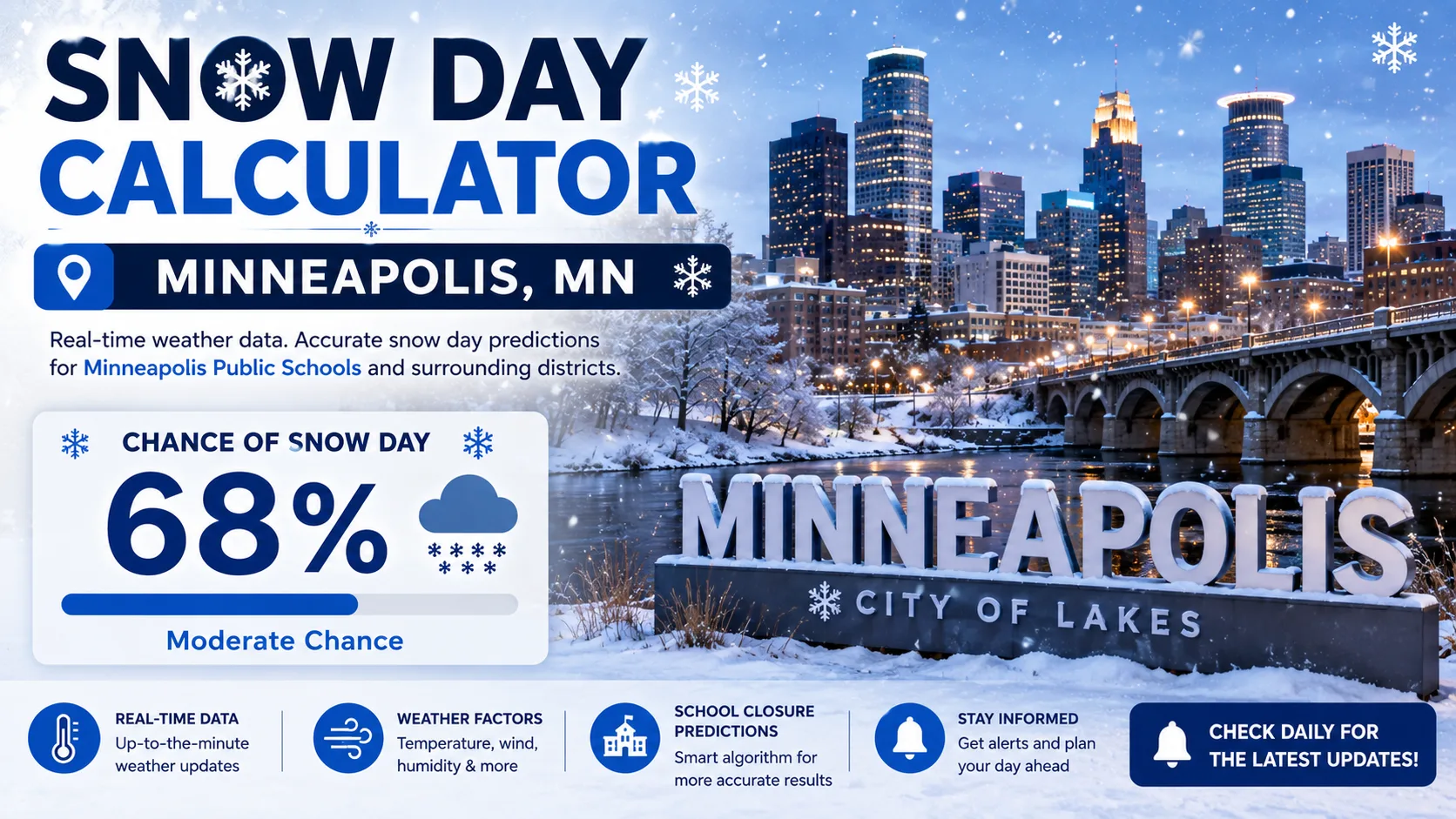
In Minneapolis, the question is almost never "how much snow?" It is "how cold?" A snow day calculator for Minneapolis, MN uses local weather inputs, especially wind chill, to estimate the odds that Minneapolis Public Schools or your suburban district will call off classes. This guide explains how that prediction works, walks through using the tool step by step, and breaks down how Twin Cities districts really make the call.
You can jump straight to the Snow Day Calculator and enter your zip code, or keep reading to understand what drives the score.
What Is a Snow Day Calculator (Minneapolis Edition)
A snow day calculator is a free prediction tool that estimates the likelihood of a school closure, delay, or e-learning day based on current and forecast weather conditions. The Minneapolis version is built around one defining fact about Twin Cities winters: extreme cold matters more than snow depth.
Minneapolis averages roughly 50 to 54 inches of snow per year, with January typically the snowiest month at just over 12 inches. That is a meaningful amount of snow, but it rarely closes schools on its own. What actually shuts down Twin Cities classrooms is wind chill, sometimes dropping to -35°F or colder, which can cause frostbite on exposed skin in under 15 minutes.
How Does the Minneapolis Snow Day Calculator Work
The calculator answers the query directly: it converts local forecast data into a percentage chance of a closure, delay, or e-learning day. It weighs the same factors a superintendent would review at 5 a.m.
The Core Formula Logic
In simplified form, the score is built from these inputs:
- Forecast wind chill at 6 a.m.: the single biggest factor for Minneapolis; readings near or below -35°F sharply raise the score
- Frostbite time estimate: a National Weather Service wind chill warning, meaning frostbite in under 15 minutes, pushes the score toward "Likely Closure"
- Snowfall total (last 12-24 hours): matters most when paired with cold, since heavy snow plus deep cold slows both plowing and bus routes
- Timing: conditions expected to worsen through the morning commute score higher than conditions improving by midday
- Neighboring district activity: Twin Cities districts often coordinate, so a closure trend across the metro nudges nearby scores upward
- Road and visibility reports: blowing snow and reduced visibility add to the score even without new accumulation
Each factor is weighted, added together, and converted into a percentage. A score above roughly 80% is shown as "Likely Closure," 50 to 79% as "Possible Delay or E-Learning Day," and below 50% as "School Likely Open."
Why Wind Chill Drives the Minneapolis Score
Minneapolis Public Schools and St. Paul Public Schools have both used a standard guideline of closing when wind chill hits roughly -35°F around the start of the school day. Anoka-Hennepin, the state's largest district, ties its decision to whether the National Weather Service issues a wind chill warning at all, rather than one exact number. St. Paul Superintendent Dr. Joe Gothard has described how metro districts coordinate closely, saying "we like to be in solidarity as much as possible" when a cold snap is approaching. That coordination is exactly why the calculator nudges scores upward once several nearby districts start trending toward closure.
Step-by-Step Guide to Using the Calculator
Getting a prediction takes less than a minute. Here is exactly how to do it.
- Go to the calculator. Visit the main Snow Day Calculator on your phone or computer.
- Enter your zip code or district name. Minneapolis, St. Paul, and the surrounding suburbs can see slightly different timing on the same cold snap.
- Select tomorrow's date. The tool automatically pulls the latest forecast, including the 6 a.m. wind chill estimate, for that date and location.
- Review your percentage score. You will see a closure probability along with the top factors driving that number, usually wind chill first.
- Check back before bed and again around 5 a.m. Many Twin Cities districts do not finalize a decision until early morning, once the overnight low is confirmed.
- Compare with your district's official channel. Use the calculator as a planning tool, then confirm with your school's own notification system once it posts.
If you are also tracking weather for family outside Minnesota, the state-by-state predictions page covers other cold-weather states too.
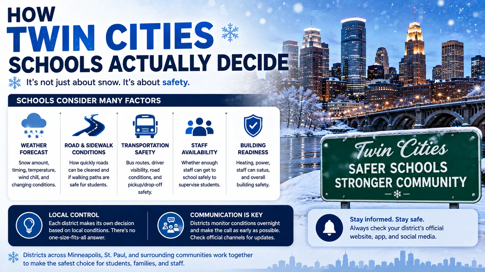
How Twin Cities Schools Actually Decide
Understanding the real decision-making process explains why the calculator weighs wind chill so heavily.
There Is No Statewide Temperature Law, But There Are Shared Thresholds
Minnesota does not have a state law setting an exact temperature at which schools must close. That decision belongs to each district's superintendent. In practice, though, many metro districts converge on similar numbers. Minneapolis and St. Paul have both used a wind chill of -35°F at the start of the school day as their standard trigger point, while some suburban and rural districts key off the National Weather Service's wind chill warning criteria instead of a single fixed number.
Statewide Closures Are Rare, But They Have Happened
Only a handful of times has a governor stepped in and closed every public school in Minnesota at once. During the January 2019 polar vortex, wind chills fell to -50°F to -60°F across parts of the state, prompting a rare statewide closure order that kept students home for several days. More recently, in January 2025, wind chills between -35°F and -45°F led Minneapolis, St. Paul, Anoka-Hennepin, Duluth, and Rochester to all cancel in-person classes on the same day, without needing a statewide order.
E-Learning Days Have Changed the Math
Many Minnesota districts now use e-learning or distance learning days instead of traditional snow days, sending students home with digital assignments rather than simply canceling class outright. This reduces the pressure to add makeup days at the end of the school year, which means some districts are willing to call an e-learning day at a lower threshold than they would a full, unstructured closure.
Real-World Example: How the Score Plays Out
Here is a simplified example of how three Twin Cities scenarios might score, based on the factors described above.
| Scenario | Forecast Wind Chill | Snowfall Forecast | Timing | Estimated Score |
|---|---|---|---|---|
| Typical January cold snap | -20°F | None to light | Coldest before sunrise | 20% (Likely Open) |
| Moderate snow plus deep cold | -28°F | 4-6 inches overnight | Continuing into commute | 60% (Possible E-Learning Day) |
| Extreme wind chill event | -38°F | 1-3 inches | Coldest at 6 a.m. start time | 90% (Likely Closure) |
Notice that the highest score in this example is not the snowiest scenario. It is the coldest one. That pattern holds true across most Minneapolis winters: extreme cold closes more school days than heavy snow does on its own.
Read More : Snow Day Calculator Cleveland, OH
Common Mistakes and Pro Tips
Common Mistakes
- Watching snowfall totals instead of wind chill. A dry, brutally cold morning can close school just as fast as a snowstorm.
- Checking only the night before. Overnight lows and 6 a.m. wind chill readings can shift the forecast significantly by morning.
- Assuming a snow day means a day fully off. Many districts now use e-learning days for cold or moderate snow instead of a traditional closure.
- Ignoring how neighboring districts are trending. Twin Cities districts often coordinate, so watching the broader metro pattern can be a useful early signal.
Pro Tips
- Check the calculator twice: once before bed, once around 5 a.m.
- Pay attention to the forecast wind chill specifically at the start of the school day, not just the daily low.
- If a cold snap is forecast without much new snow, the Wind Chill Calculator can help you see exactly how close conditions are to your district's usual threshold.
- Keep your district's own alert system turned on as the final confirmation source.
Snow Day Calculator vs. Other Prediction Methods
| Method | Speed | Minneapolis Cold-Weather Accuracy | Cost |
|---|---|---|---|
| Snow Day Calculator | Instant | High (wind chill weighted) | Free |
| General weather app forecast | Instant | Medium (not closure-specific) | Free |
| Waiting for district announcement | Slow (often 5 to 6 a.m.) | Highest (it's the actual decision) | Free |
| Asking neighbors or social media | Fast but unreliable | Low | Free |
The calculator works best as a planning tool the night before and again early morning, not as a replacement for your school's official notification.
Conclusion
Minneapolis winters are defined less by how much snow falls and more by how dangerously cold it gets. A purpose-built snow day calculator for Minneapolis, MN reflects that reality by weighting wind chill above raw snowfall, then adjusting for timing, road conditions, and how neighboring districts are trending. Check your forecast, read the latest posts on the blog, and try the calculator above before the next cold snap moves in.